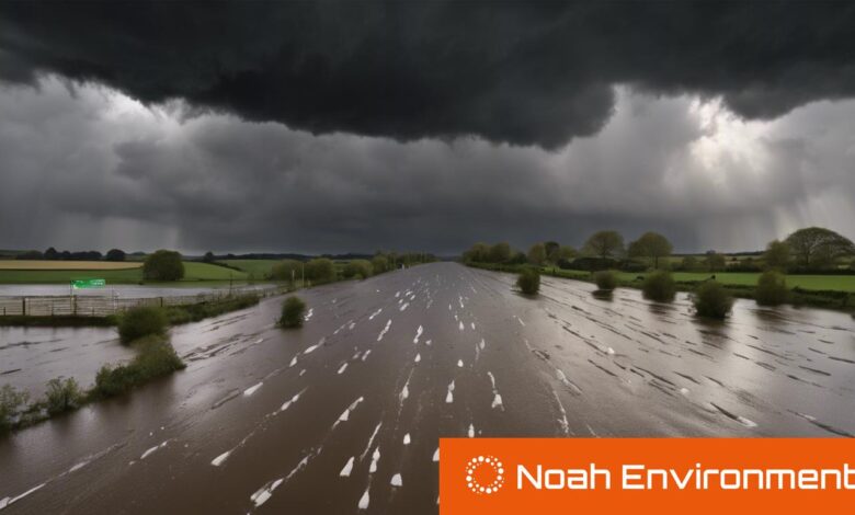
UK braces for the wettest February on record with flood alerts still active

As February is anticipated to be the wettest in 258 years, the UK faces ongoing weather challenges with rain, potential snow disruptions, and 150 flood alerts still in place across the country.
The UK has experienced an unusually wet February, anticipated to be the wettest in 258 years, according to the Met Office. Preliminary figures suggest the country has received 129mm of rain, far exceeding the 48mm average for the month. This week, the UK is expected to face more showers, although they will not be as heavy as those earlier in the month.
A band of rain and cloud is forecasted to move across the country from the northwest on Tuesday, affecting Scotland, Northern Ireland, the Midlands, and parts of Southwest England. Despite this, there remain about 150 flood alerts and 55 flood warnings. Some areas, such as Manchester and Glasgow, might see heavier rainfall. However, the band of rain is expected to weaken, leading to sunny intervals and blustery showers. The temperature will generally stay in the single digits, with a brief rise due to a low-pressure system bringing in warmer air, before dropping again by Friday with the arrival of Arctic air.
Additionally, there have been concerns about freezing temperatures and possible snow disruptions, following a period of milder, spring-like conditions. Forecasts have indicated a significant drop in temperatures across England and Scotland, with wind chill making it feel even colder. Despite this, recent predictions suggest a diminishing likelihood of further snow chaos, with a trend towards spring-like weather expected to continue. Experts now believe that winter may effectively be ending in the UK, as long-term forecasts predict a return to near-average temperatures for early March, with snow mainly limited to northern hills.


