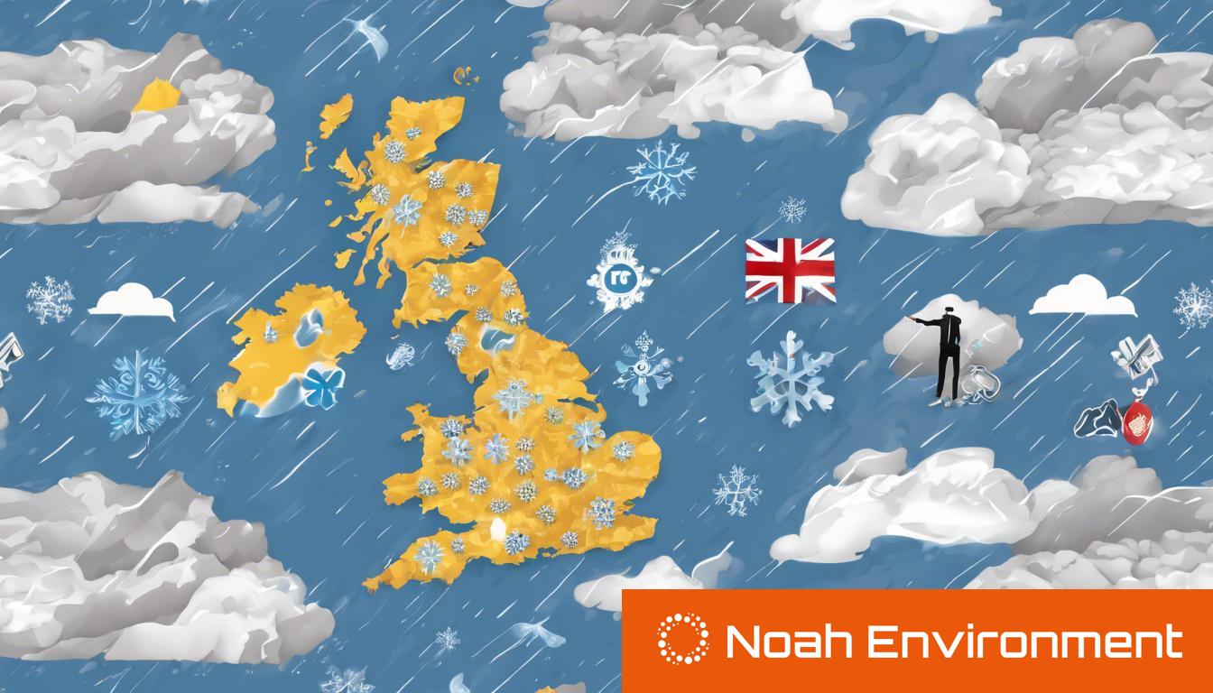
The UK faces an onslaught of severe weather, including heavy rain, floods, wind, and snow across various regions, prompting multiple warnings and advisories for disruptions and flooding.
The UK is currently experiencing a variety of severe weather conditions, with the Met Office issuing multiple warnings for heavy rain, floods, wind, and snow across different regions. A 15-hour yellow weather warning for heavy rain affects Southwest England and Wales until 3 pm on Friday, predicting 10 to 15 mm of rain and up to 30 mm in some areas. This comes alongside an advisory for travel disruptions and 111 flood alerts with 32 flood warnings due to potential flooding. An additional warning is in place for wind gusts along the southern coast. Despite the onset of spring, chilly Arctic air is expected to keep temperatures in single digits, necessitating winter coats over the weekend, which may see hill snow in higher regions.
A separate warning highlights a “400-mile snow bomb” causing a “north-south divide,” with the south and Wales expecting snow and temperatures dropping to -4C. Places like Plymouth, Cardiff, Manchester, and Liverpool are anticipated to experience snowfall, while Newcastle, Edinburgh, and other Northern cities might avoid snow but see heavy rain. This Arctic blast will affect other European regions as well, bringing snow and rain.
Meteorological forecasts indicate 84 hours of non-stop snow in some UK parts, with temperatures potentially plummeting to -5C during this period. However, the Met Office clarifies that while weather maps show extensive snowfall, the actual conditions will involve transient snow showers primarily affecting elevated areas, with a band of rain reducing the ongoing risk of snow.
Britons are facing travel chaos due to these conditions, with advisories in place for motorists and those using public transportation to check conditions and adjust travel plans accordingly. The weather is expected to remain cold and unsettled into the weekend, with improvements and slightly warmer temperatures by Sunday, but with continuous changeability and the likelihood of wetter and windier conditions by March’s end.
